

Chambord
-
Description :
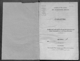
1835 Tableau indicatif des propriétés foncières
-
Date :
1835
-
Identifiant :
3 P 6 171
- Localité : Chambord (Eure, France)
