
Gouville - "Plan de la seigneurie". *
-
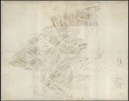
Description :
Plan parcellaire avec indication des tenanciers (extrait de E 185)
-
Date :
1788
-
Description physique :
Importance matérielle : avec support : 219 x 175
Dimensions : 215 x 168
Particularité physique : O. Ms. papier, encre, éch. : 30 perches = 20,2 cm
-
Identifiant :
2 PL 87
- Localité : Gouville (Eure, France)
-
Autres identifiants :
Ancienne cote : E 185